Walvis Bay to Lusaka: The Trans-Caprivi Corridor Explained
August 17, 2026
Read the story
Please submit your details below and one of our logistics experts will reach out within one business day. Thank you.
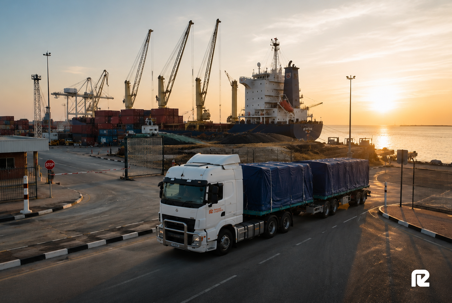

Cargo moving between Zambia and the sea has more than one route to choose from, and the choice affects transit time, cost, and how much the shipment is likely to be delayed. Most Zambian trade runs east, down to the South African and Mozambican ports. The western option runs the other way, out through Namibia to the port of Walvis Bay on the Atlantic coast, along a road corridor called the Trans-Caprivi.
This article explains the Trans-Caprivi route from Walvis Bay to Lusaka, what moves along it, and how the border crossing works. It also covers where the Trans-Kalahari fits in, since the two corridors are often discussed together, and how the western route compares to the eastern ports for cargo heading to Zambia.
Walvis Bay is Namibia's main port, sitting on the Atlantic coast with road and rail running inland from it. For Zambian cargo, it offers an alternative to the busier ports on the eastern side of the subcontinent.
The port has a reputation for shorter waiting times than Durban, which is part of why shippers look to it when congestion builds on the eastern routes. Bonded storage at Walvis Bay lets cargo clear and stage close to the quay before the inland run begins.
Zambia has no coastline, and neither does the mineral-rich Copperbelt region that straddles its northern border with the DRC. Every tonne of copper leaving those mines, and every piece of equipment and fuel going in, has to cross at least one international border on the road to or from a port.
That geography is what makes corridors matter here. The route a shipment takes decides which borders it crosses, which port it uses, and how far it travels. Those choices set the cost long before the cargo moves.
The Trans-Caprivi Corridor, known formally as the Walvis Bay-Ndola-Lubumbashi Development Road, runs from the port of Walvis Bay across Namibia and into Zambia. It leaves Walvis Bay, passes through Rundu in northeastern Namibia, and follows the Caprivi Strip to Katima Mulilo on the Zambezi River, where the Katima Mulilo Bridge crosses into Zambia at Sesheke. From there, the road continues to Livingstone and joins the main highway north to Lusaka and on to the Copperbelt. The full corridor covers around 2,700 km.
The route is fully paved and managed as a regional corridor, with the Walvis Bay Corridor Group coordinating the countries and operators along it.
The Trans-Caprivi carries the trade of the Zambian and Congolese interior in both directions. Copper and cobalt move west toward Walvis Bay for export. Fuel, mining equipment, consumables, and general goods move east toward the mines and the towns that serve them.
The corridor has long carried copper concentrate from mines in the southeastern DRC out to the coast. For a shipment running to Lusaka specifically, the cargo leaves the corridor before its far end and turns off toward the capital.
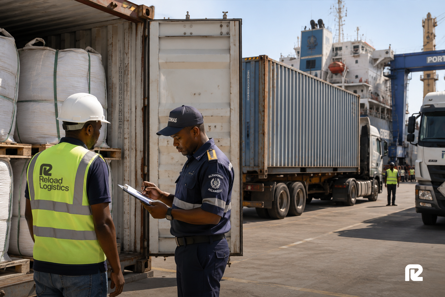
The single border on the route is at Katima Mulilo, where the bridge carries the road across the Zambezi into Zambia at Sesheke. One crossing is part of what makes the western route attractive, since cargo on the eastern routes often passes through more than one border, and each border is a place where a shipment can wait.
Clearing the cargo correctly at Katima Mulilo, with the customs paperwork ready before the truck arrives, is what keeps the crossing from turning into a delay.
The Trans-Kalahari runs from Walvis Bay through Windhoek and Gobabis, across Botswana, and into Gauteng, over a distance of around 1,900 km. Its destination is Pretoria and Johannesburg. A shipment bound for Lusaka or Kolwezi uses the Trans-Caprivi instead, the corridor built for that route.
Both start at Walvis Bay. The Trans-Caprivi runs to Zambia and the DRC. The Trans-Kalahari runs to South Africa.
The Trans-Kalahari is the route to choose when the cargo is going to or coming from Gauteng. It runs about 400 km shorter than the older route through southern Namibia, which is what made it a preferred link between Walvis Bay and the South African industrial heartland.
For a business shipping to both Zambia and South Africa through Walvis Bay, the two corridors work as a pair, each handling the leg it is built for. The transport planning is what assigns each shipment to the right one.
For a Lusaka shipment, the choice that matters is the western route through Walvis Bay against the eastern routes through the South African and Mozambican ports. The North-South Corridor brings cargo up from Durban through Zimbabwe and across the Beitbridge and Chirundu borders.
The Maputo and Beira corridors offer shorter runs to the Mozambican coast. Walvis Bay competes with all of these for Zambian trade.
Each option trades off against the others on a few points. The eastern ports are closer to Lusaka in raw distance, but they carry heavier congestion and more borders on the busiest routes.
Walvis Bay is farther by road, and the Trans-Caprivi is a long run, though the port tends to move cargo faster and the route crosses a single border. The right answer depends on where the cargo starts, what it is, and how much a predictable transit time is worth compared with a shorter distance. A bulk mineral exporter weighing port capacity will reach a different answer from an importer moving time-sensitive goods to Lusaka.
The route decision for Walvis Bay-to-Lusaka cargo comes down to a few practical questions:
● Where does the cargo enter or leave the region? Cargo near the Atlantic side, or tied to markets the western port serves well, suits Walvis Bay and the Trans-Caprivi. Cargo tied to the eastern ports may run better through Durban or Beira.
● How much does congestion cost this shipment? For cargo that cannot afford to wait, Walvis Bay’s shorter port delays can outweigh its longer road distance.
● How many borders is the route worth? The Trans-Caprivi crosses one. The busiest eastern routes cross more, and each adds time and paperwork.
● Is the cargo going to Lusaka or the Copperbelt? Lusaka sits partway along the corridor, so a shipment to the capital turns off before the Copperbelt, which shortens the Trans-Caprivi run for that destination.
The Trans-Caprivi gives Zambian cargo a western outlet through one of the region's less congested ports, along a single-border road that reaches Lusaka and the Copperbelt. Whether it beats the eastern routes depends on the shipment, which the transport plan settles for each load.