Multimodal Freight in Africa: How to Cut Costs on Long-Haul Routes
July 2, 2026
Read the story
Please submit your details below and one of our logistics experts will reach out within one business day. Thank you.

Few continents are as well-positioned for global trade as Africa, and few are as unevenly served by the infrastructure that enables that trade.
Coastlines on the Atlantic, Indian Ocean, and Mediterranean put African ports within reach of markets in Europe, Asia, the Americas, and the Middle East, but access to shipping lanes and reliable connectivity to global markets are two different things.
Africa's maritime network is concentrated. A small number of high-performing ports handle a disproportionate share of the continent's trade, and inland connections vary enormously from one corridor to the next. For businesses moving goods into or out of Africa, understanding where the network is strong and where it isn't is the starting point for any serious logistics planning.
African maritime trade runs on corridors. A corridor is not just a shipping lane: it is the combination of a port, the road and rail links running inland from it, the border crossings those links pass through, and the operational systems that tie them together.
When a corridor works well, goods move predictably and at competitive cost. When it doesn't, the effects are felt by every business in the chain.
The network has grown significantly over the past decade. Port infrastructure investment, rising commodity exports, and growing consumer import demand have all driven that growth.
Capacity has not kept pace evenly, as a handful of ports handle a disproportionate share of African trade, and the landlocked interior of the continent still depends on a limited number of routes to reach global markets. That concentration creates both efficiency on the main corridors and vulnerability when those corridors come under pressure.
Africa's international maritime connectivity runs along three broad lines.
The East African corridor runs along the Indian Ocean coast of the continent and connects ports at Mombasa, Dar es Salaam, and Beira to shipping lanes serving Asia, the Middle East, and Europe via the Suez Canal. This corridor is the primary maritime gateway for a large arc of landlocked countries stretching from Uganda and Rwanda in the north through Zambia and Malawi in the south.
The Southern African corridor links Durban, Walvis Bay, Maputo, and the Mozambican ports to global markets via the Cape of Good Hope and the Indian Ocean. It is the dominant corridor for South Africa's trade and the backbone of the regional supply chain for the copper belt countries.
The West and North African corridor connects Atlantic and Mediterranean ports to Europe and the Americas. It serves different trade flows from the other two axes, dominated by West African oil exports, consumer goods imports, and the transshipment volumes that move through Tanger Med at the continent's northern tip.
For businesses operating in Sub-Saharan Africa, the Southern and East African corridors are where most of the operational decisions get made.
Durban is where Southern African trade connects to the world. It handles more container traffic than any other port in Sub-Saharan Africa and has the broadest connections to global shipping lines of any port in the region.
Its reach extends well beyond South Africa's borders. Via the North-South Corridor, Durban serves as the primary distribution gateway for landlocked markets in Zambia, Zimbabwe, and Botswana. For most businesses operating in Southern Africa, it's the port their supply chain is built around, whether they think of it that way or not.
Dar es Salaam is increasingly significant as an alternative to the South African port network. It anchors the Central Corridor running inland through Tanzania into the Great Lakes region, serving Zambia, Malawi, the DRC, Rwanda, and Burundi. For cargo moving to and from the copper belt, it offers a viable eastern option to the southern routes through Durban.
Its importance is growing as trade volumes on Central African corridors increase and as shippers look for alternatives when South African port capacity is under pressure.
Mozambique's two main trading ports serve different parts of the inland network but share a common strategic importance: they give landlocked Zimbabwe, Zambia, and Malawi their shortest access to the sea.
Beira is the established route, handling general cargo, fuel, and agricultural commodities for Zimbabwe and Zambia. Nacala's deep-water capacity gives it an advantage for larger vessels and positions it well for the growing volumes of bulk commodity exports, particularly as rail investment along the Nacala Corridor continues.
Maputo sits closer to South Africa's industrial heartland than Durban does, which gives it a geographic advantage for certain cargo flows. It handles bulk, break-bulk, and containerized cargo and has been the subject of sustained infrastructure investment. For businesses in parts of South Africa, Swaziland, and southern Mozambique, it offers a credible alternative to the main Durban gateway.
Walvis Bay is the Atlantic option in Southern Africa's port network. It anchors the Trans-Kalahari and Trans-Caprivi corridors, offering Botswana, Zambia, and Zimbabwe a western outlet that avoids the longer haul to Indian Ocean ports. Its reputation for efficient operations and lower congestion makes it attractive to shippers who have been caught by delays elsewhere in the network.
The broader West and North African ports, Lagos, Tanger Med, Tema, and the Egyptian ports, are relevant for businesses trading across the continent as a whole. For Sub-Saharan Africa's primary trade corridors, the five ports above are where the operational weight sits.
Southern Africa's mining export corridors carry some of the most strategically important freight on the continent. Copper and cobalt from Zambia and the DRC move south through Durban or east through Dar es Salaam, Beira, and Nacala. The Lobito Corridor through Angola, anchored by the rehabilitated Benguela Railway, is attracting growing attention as a western alternative for critical mineral exports, particularly as scrutiny of supply chain provenance increases among buyers in Europe and North America.
Performance on these corridors, measured in transit times, reliability, and cost, directly affects the competitiveness of Southern African exports in global commodity markets. Small differences in corridor efficiency translate into real differences in the landed cost of goods at destination.
Agricultural exports move along routes that geography and port capacity have shaped over decades. Zimbabwe and Zambia's cotton, tobacco, and sugar head to Durban and Beira. Ethiopian and Ugandan coffee ships out through Mombasa and Djibouti. West African cocoa from Ghana and the Ivory Coast rarely travels far before it reaches a port, which is one of the few logistical advantages that region has over its landlocked neighbors to the south.
Seasonal peaks concentrate freight volumes in ways that test port and corridor capacity. When everyone needs to move at the same time, the difference between reliable logistics and unreliable logistics becomes very visible, very quickly.
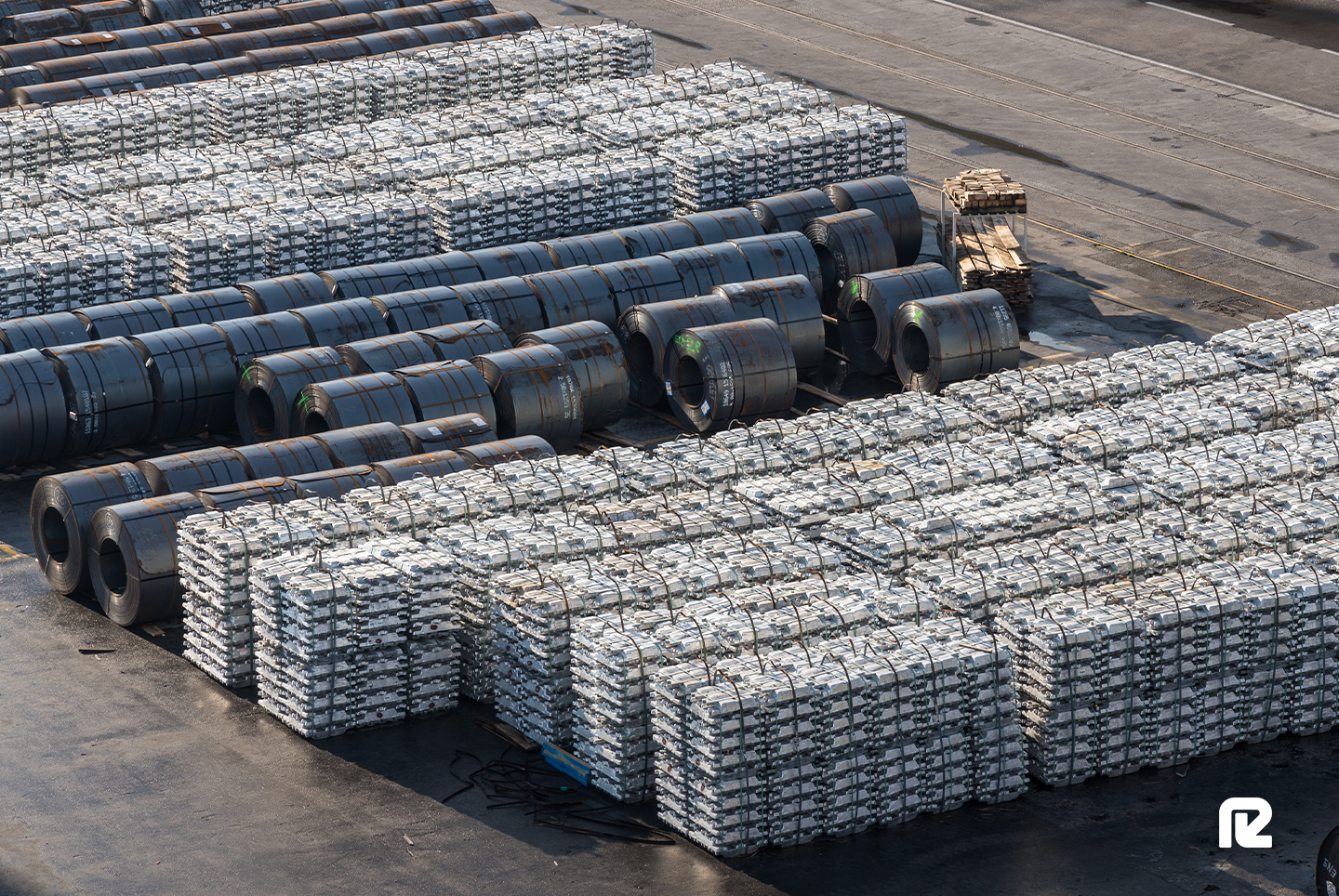
Raw materials have always driven African trade, and bulk cargo has always dominated the shipping mix as a result. That is starting to change. Containerized trade is growing as intra-African commerce develops and as more processed and manufactured goods enter the export mix alongside traditional commodities.
Container shipping services on African routes have expanded, but frequency and connectivity still lag behind more mature markets.
Container availability and routing options vary considerably by port and trade lane, which means that businesses planning regular containerized movements need a realistic picture of what service actually looks like on their specific corridor.
Europe remains Africa's largest trading partner by value, and the shipping lanes connecting them are among the busiest on the continent's maritime network. Southern and East African cargo moves to Europe via the Suez Canal or the Cape route, depending on origin and disruption conditions.
West and North African trade moves on shorter routes across the Mediterranean and up the Atlantic coast.
Transit times vary considerably. Suez routing from East Africa to Northern Europe typically runs between fifteen and twenty days. Cape routing, used when the Suez is disrupted or for cargo originating in the far south, adds significantly to that timeline.
China's position in African trade has changed the shape of the shipping network. As Africa's largest single trading partner, the volume of cargo moving between Chinese ports and African gateways has grown to the point where direct services are now viable on several major lanes.
Smaller ports still rely on transshipment through intermediate hubs, but the direction of travel is toward more direct connectivity as volumes continue to build.
Chinese investment in African port infrastructure, including Mombasa, Dar es Salaam, and several West African facilities, has improved handling capacity on key lanes. The practical effect for shippers is better service frequency on some routes and improved turnaround times at upgraded terminals.
Trade between Africa and North America is smaller in volume than either the Europe or Asia relationships, but is active for specific commodity flows and growing in manufactured goods. West African cargo for the US East Coast typically moves in twelve to eighteen days.
Southern African cargo bound for North America routes via the Cape or Suez, depending on destination and prevailing conditions.
Africa's shipping network is a collection of corridors with different strengths, different constraints, and different levels of maturity. For businesses that understand which routes serve their trade lanes, which ports perform reliably, and where the vulnerabilities lie, that complexity becomes manageable.
For those that don't, it becomes a source of cost and delay that no amount of reactive problem-solving fully fixes.